The Eran Laor Cartographic Collection at the National Library holds an intriguing map of the region, with a particular focus on Iran. Much has changed since it was published nearly eighty years ago. Here is a look at the regional reality it depicted in the 1940s.
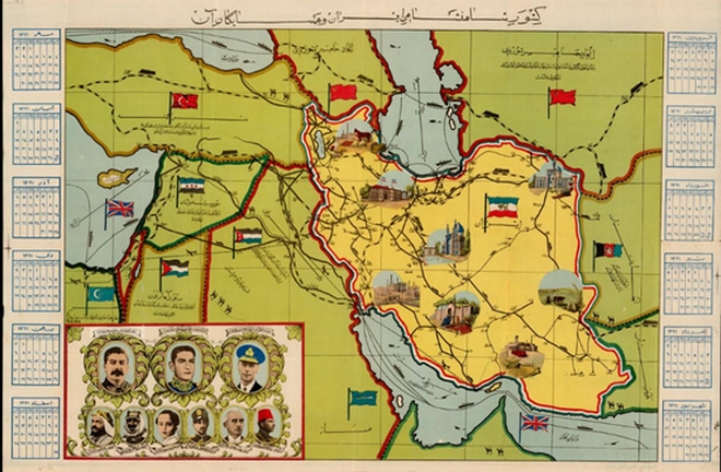
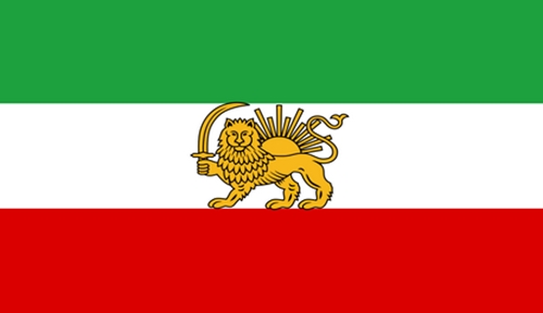
The map presents the Middle East from an Iranian perspective. Iran is highlighted in yellow, standing out from the uniform green of the surrounding countries. In the margins appears a Persian calendar, a unique solar calendar used in Iran and Afghanistan.
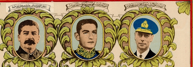
Portraits of regional leaders are arranged in two rows. The three figures seen as most influential from the Iranian point of view are enlarged and placed in the top row. On the left is Stalin, in the center is Mohammad Reza Shah Pahlavi, Shah of Iran, and to the right is King George VI.
These figures reflect the influence Britain and the Soviet Union held in Iran at the time. When Reza Shah Pahlavi’s father rose to power, he relied on British support to help establish a modern regime. In 1941, during World War II, British and Soviet forces invaded Iran. A British-Soviet agreement guaranteed Iran’s territorial integrity and promised the withdrawal of foreign forces after the war. In practice, Iran remained divided between British and Soviet zones of control until 1946, when both powers finally withdrew.
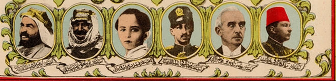
In the lower row, on the far left, is Abdulaziz Ibn Saud, founder and first king of Saudi Arabia. Among the leaders beside him are King Faisal II of Iraq, shown as a child, and King Farouk of Egypt.
The map also reflects the region’s geopolitical situation with references to the Saadabad Pact, a non-aggression treaty signed in 1937 by Turkey, Iran, Iraq, and Afghanistan. For example, beneath the Turkish flag appears the caption: “Through the Saadabad Pact, [Turkey] is united with the imperial state of Iran and with Britain, with whom it holds a mutual assistance agreement.” A similar reference is printed over the Iraq region. The British Empire is also noted, for example in the label across Transjordan.
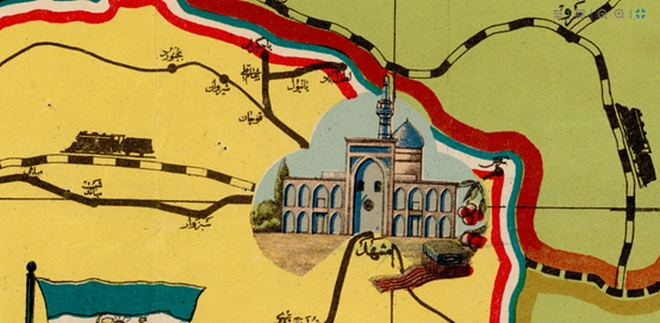
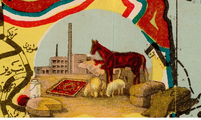
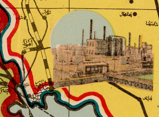
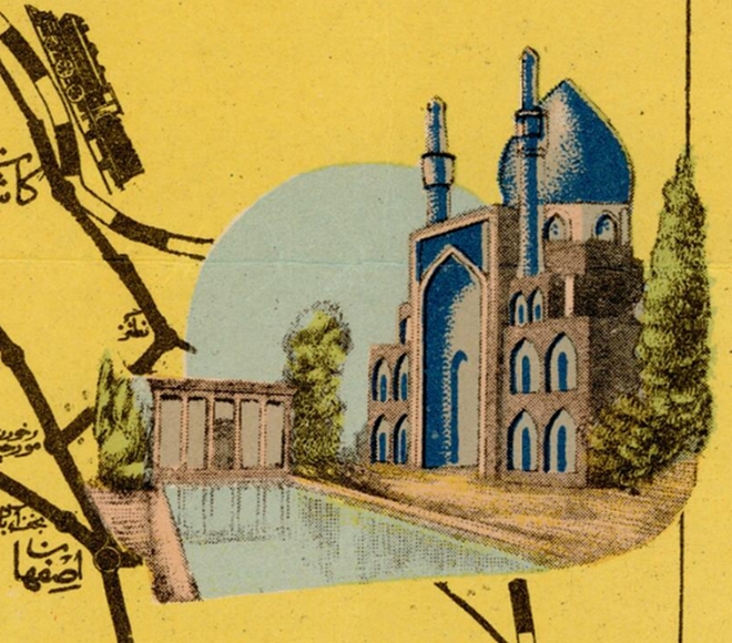
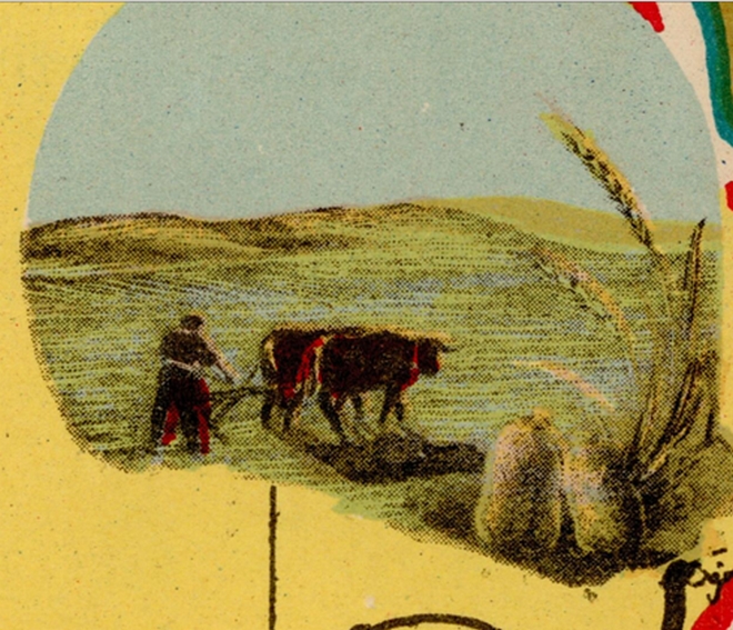
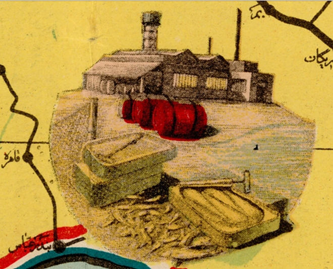
Scattered across the map of Iran are illustrations of notable sites in key cities:
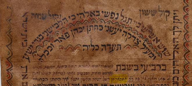
Evidence of the Jewish community in Mashhad can be found on the National Library’s website in the form of dozens of ketubot(traditional Jewish marriage contracts) signed in the city. Among the digitized items is also a Muslim marriage contract from the community of forcibly converted Jews in Mashhad.
Farah Diba, wife of Iran’s last Shah, was born in Tabriz.
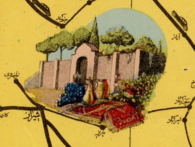
A flourishing Jewish community once lived in Isfahan:
In those years, the State of Israel maintained good relations with Iran. The National Library even contributed books to the library at the University of Isfahan.
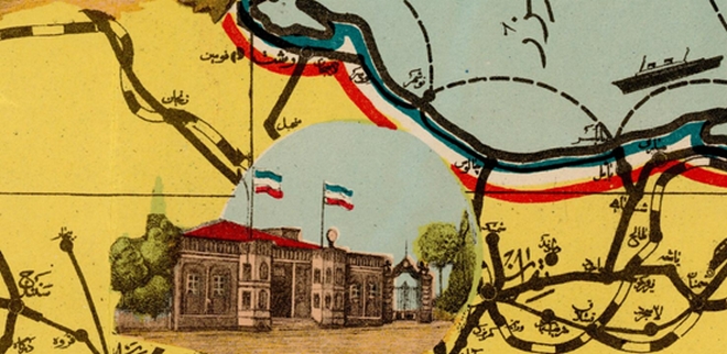
Tehran – Can you help identify the building shown in the illustration?
Among Israelis born in the Iranian capital are former IDF Chief of Staff Shaul Mofaz and journalist Menashe Amir.
The Library’s website offers access to dozens of ketubot from Tehran that bear witness to Jewish life in the city:
In addition to these ketubot, the National Library’s collections include many other fascinating materials that document Jewish life in Iran over the centuries. Among them are a 1776 letter from a Jerusalem emissary of the Sephardi community to the Jewish community in Mashhad requesting support for the Jerusalem community, a handwritten Bible produced in Isfahan in 1572, and letters sent by the Jewish community of Tehran to Rabbi Yaakov Shaul Elyashar, dating from the 19th century through the early 20th century.
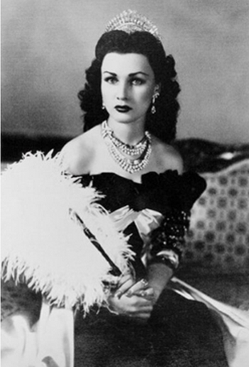
The map’s focus on Iran is further reflected in captions relating to other countries in the region. For example, the caption over Egypt reads, “Birthplace of Her Majesty Queen Fawzia.” Fawzia, daughter of King Fuad of Egypt, was the first wife of Iran’s last Shah, Mohammad Reza Shah Pahlavi.
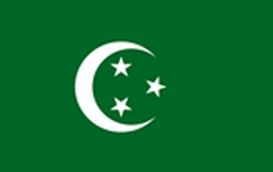
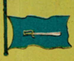
Looking again at the map, one can see the flags of Iran and neighboring countries displayed prominently. The Egyptian flag is shown with a crescent and three white stars on a green background, which was in use between 1922 and 1958. The Saudi flag appears with only a sword, without the shahada inscription.

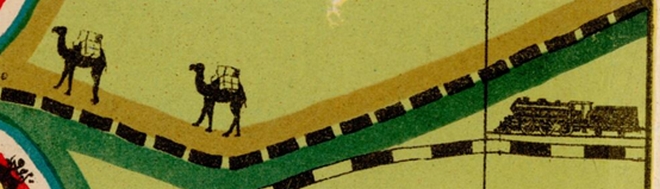
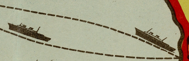
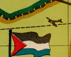
The map also displays shipping routes, air routes, roads, and railways, along with illustrations of the relevant forms of transportation. There are also images of camel caravans carrying goods along ancient trade routes:
Today, the twin-engine planes that once flew across the skies of the Middle East during World War II have been replaced by B-2 stealth bombers. One can only hope that these advances in technology will eventually help bring peace and stability to our region.